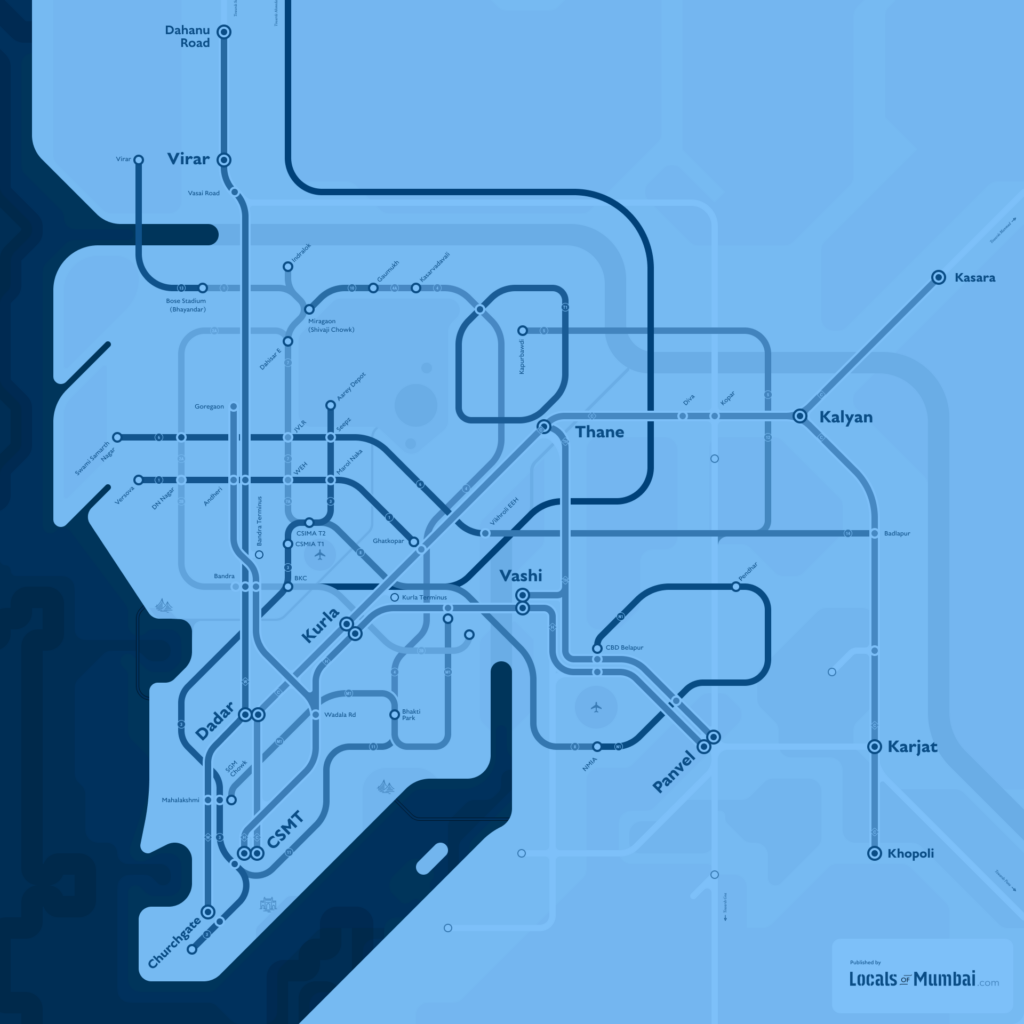
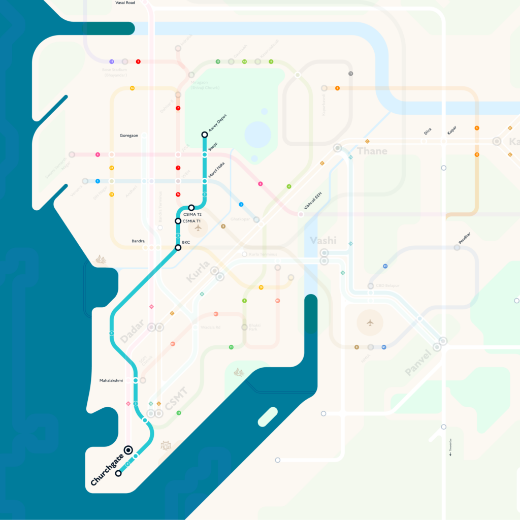
The V9 map is available in four styles — schematic, semi-geographic, linear, and curved. Earlier versions were available in five languages including Hindi, Marathi, Urdu, and Gujarati. Multi-language support is planned for future releases.
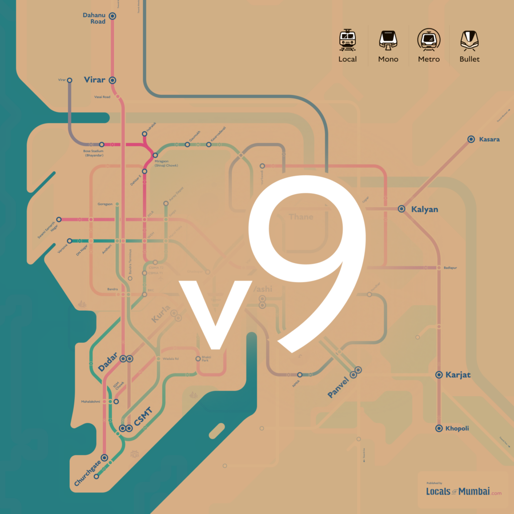
v9
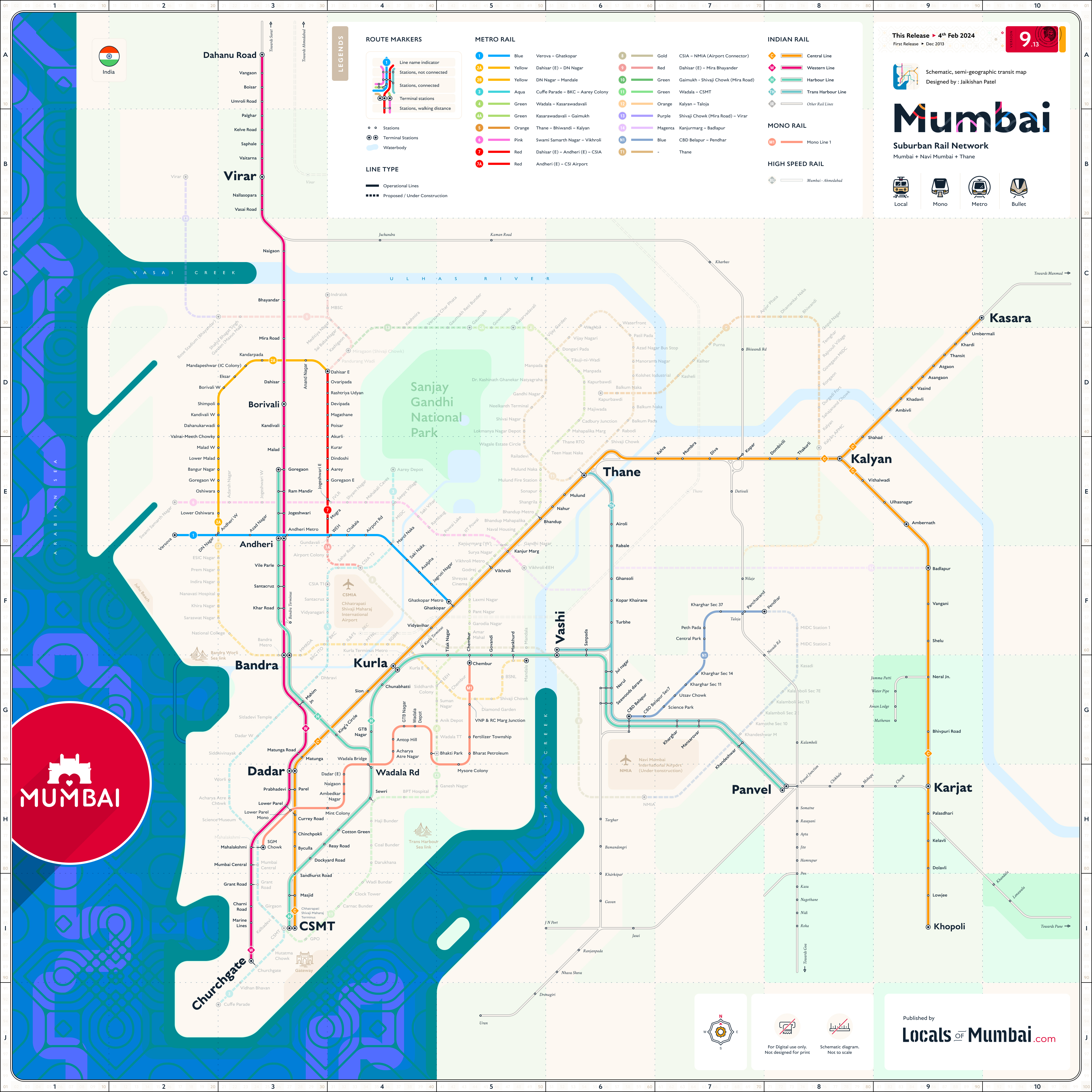
Mumbai suburban Rail map 2026
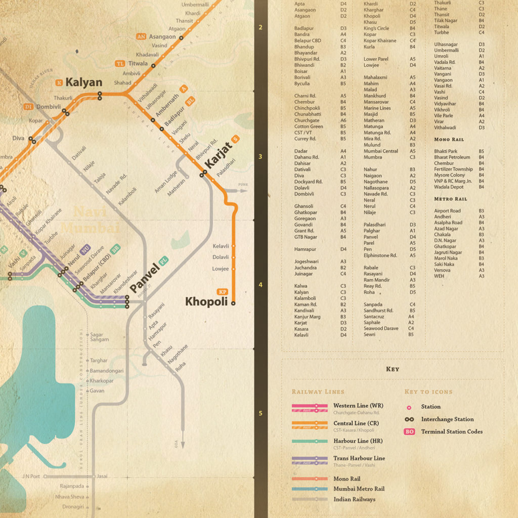
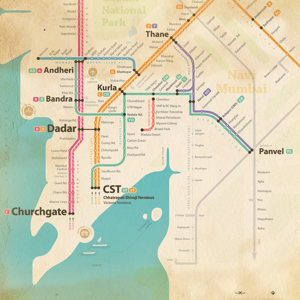
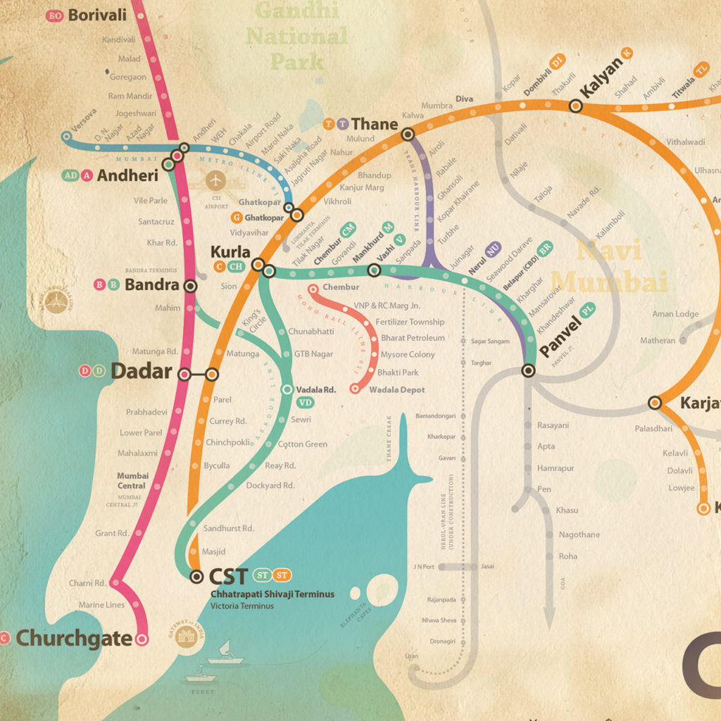
Schematic, Semi-geographic transit map covering the Western, Central, Harbour, and Trans-Harbour lines. Includes all existing and proposed Mumbai local, Metro rail, and Monorail routes.
Free to download in PDF and PNG — print-ready and high resolution.
Mumbaikar App
is live
Android app available to Download from play store
Map Designs
Different schematic maps,
designed for different purposes.

The Mumbai transit map is free and open source. Download the latest map files — all formats, all styles on Locals of Mumbai GitHub
About
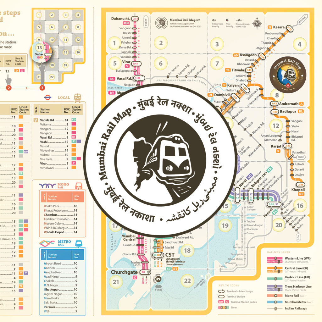
Locals of Mumbai started with a simple frustration — Mumbai's rail network had no map worth using. Years of user testing, multiple iterations, and untangling the complexity of Mumbai's mixed network — suburban rail, metro, monorail, and everything in between — went into getting it right. Nine versions later, the V9 is an institutional-grade schematic covering every line in the network, available in four design styles.
It's used by commuters, printed in offices, embedded in real estate brochures, and featured on the Mumbai Railway Police website. The map is free because the city deserves one that works. Read more
It's used by commuters, printed in offices, embedded in real estate brochures, and featured on the Mumbai Railway Police website. The map is free because the city deserves one that works. Read more
Local Stories
Design notes, map updates, and writing about the city that makes this project necessary.

Load More
Fail to load posts. Try to refresh page.
Products by Keywords
Central Line Central Railway Chhatrapati Shivaji Maharaj Terminus Commuter Commuter Map CSMT Curve Map English Map Gujarati Map Harbour Line Hindi Map India India Railway Journey Linear Map Local Locals of Mumbai Lokmanya Tilak Terminus Love Mumbai LTT Maharashtra Map Marathi Map MRM Mumbai Mumbai Local Mumbai Metro Mumbai Mono Rail Mumbai Rail Map Mumbai Suburban Railway Print Print Map Rail Railway Schematic Map Stylised Map Suburban Train Trans Harbour Line Travel Urdu Map VT Western Line Western RailwayMost used keywords
Portfolio Categories
Categories
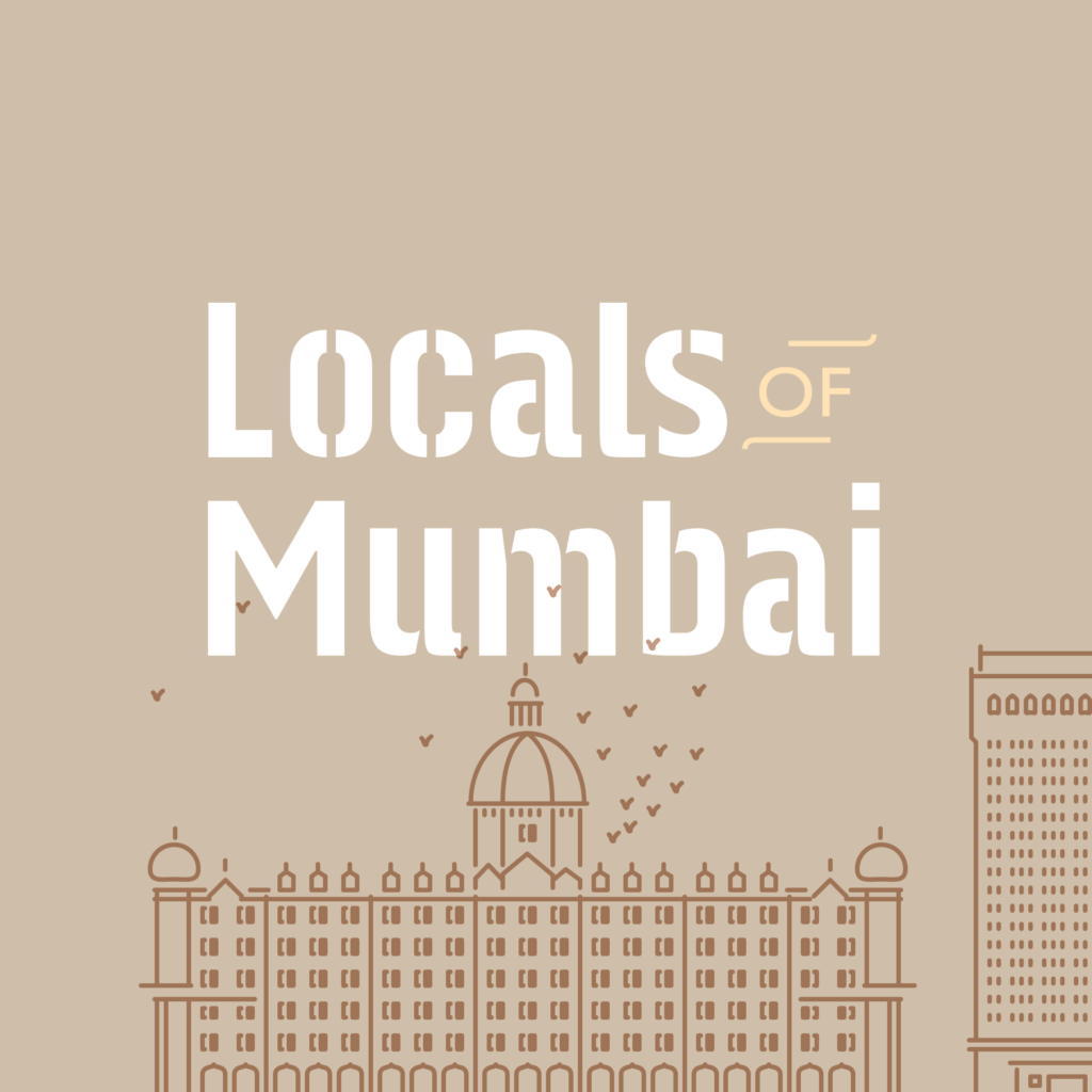
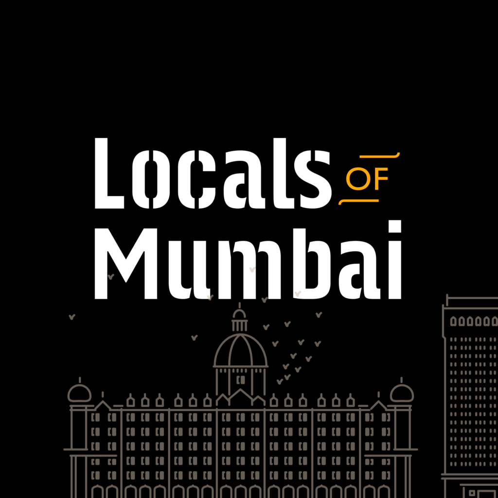
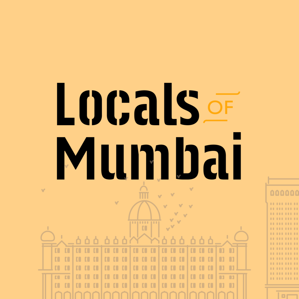
Mumbai is home.
Say it with free assets — downloadable banners, stickers, and digital wallpapers made for Mumbaikars. Use them on your phone, your walls, your posts. No catch.
Download free #LoveMumbai assets
Know all information related to each of the Mumbai Rail Divisions on Mumbai Railway Police Website
Linear Mumbai Rail Map Designed by Locals of Mumbai
Contribute to the Project
The Mumbai transit map has been free since version 1. If it's saved you a commute or helped you navigate the city, consider supporting the project — it keeps the map current and independent.